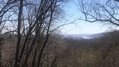
We headed north along the Missouri River and crossed it at Atchison, Kansas. Then continued north on the west side of the river to have lunch at Nebraska’s Indian Cave State Park, which offered a nice view of the Missouri from high bluffs on the west side. Kansas is the third state we have traveled through without setting foot on the ground (the others were Florida and Illinois). We had planned to also route ourselves through Iowa to pick up one more state sticker for the map on the back of the Skylark trailer, but the flood damage from the storms several weeks ago resulted in closing many of the river crossings.
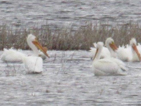
In Lincoln, Cynthia visited the Quilt Study Center and Museum (#46) (www.quiltstudy.org) at the University of Nebraska, while Larry did some grocery shopping. We spent the night at a Nebraska State Park (Branched Oak) on reservoir north of Lincoln. The sun was out and temperature above 70 degrees, so we enjoyed some afternoon time reading and got the grill out to cook some hamburgers. We have not had many days that we can enjoy outside grilling. We saw many pelicans wheeling around above the lake, and heard that there were also sandhill cranes in the area, but didn’t see any of them. They are their northward migration to Alaska and other points north, where we saw them in late summer a couple of years ago.
We headed west to Grand Island, and there stopped at the Stuhr Museum of the Prairie Pioneer (#47) (www.stuhrmuseum.org), a well-endowed county museum with displays on life on the prairie in the 1880-1920 period. As a bonus, they had a large display of art from all the area middle and high schools. Further travel towards northwest Nebraska was off the interstate. Our route took us along a main corrider for the BNSF railroad and we saw coal trains about every 15 minutes, full ones heading east and empty ones heading west, presumably to coal mines in Wyoming. Despite traveling in 77 degree temperatures, there was a lot of snow in areas where it had drifted in the “Bomb Cyclone” of the previous week.
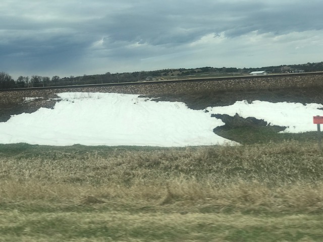
“Bomb Cyclone” Snow 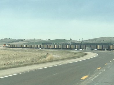
Empty Coal Train heading West
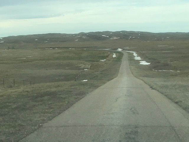
One Lane Back Road
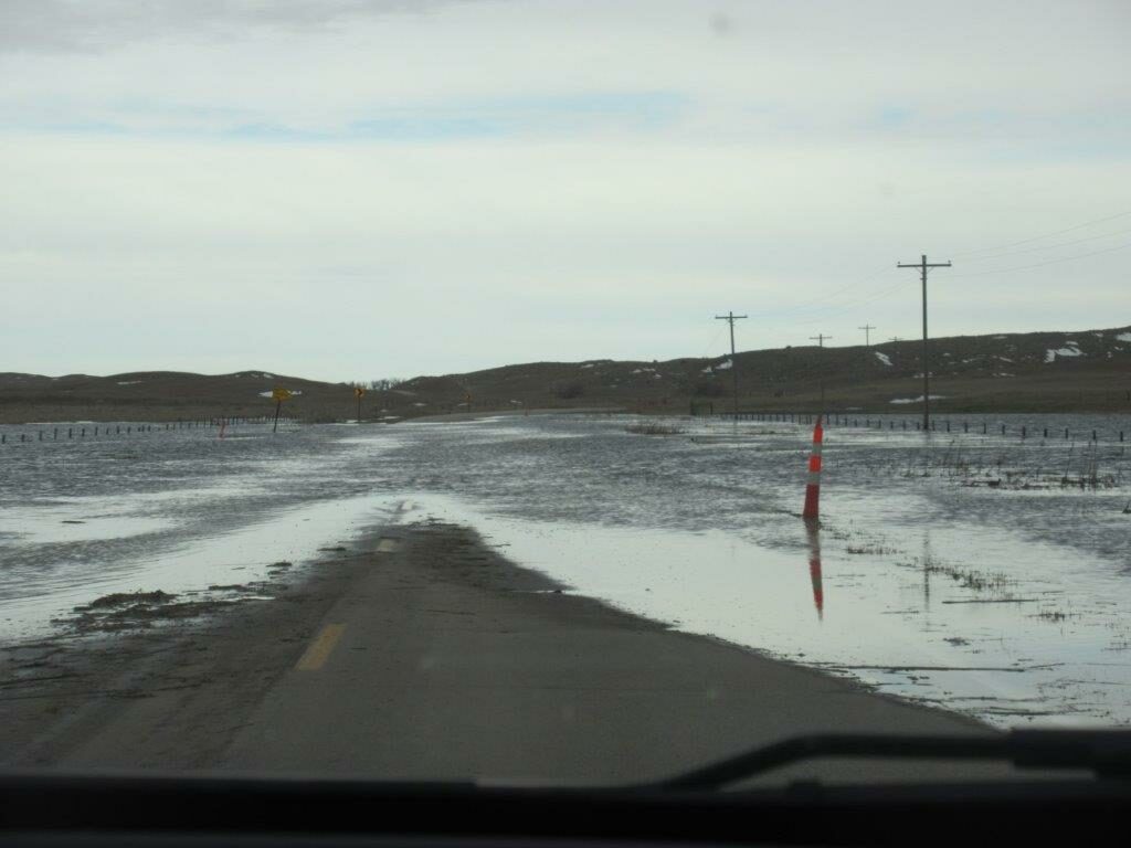
We were gradually climbed through the “Sandhills” of northern Nebraska. These are sandunes created about 10,000 years ago when it was drier here, but which have since been stabilized with grass and some trees. It is these sandhills for which the sandhill cranes are named. To get to our campground we traveled on one-lane county roads and encountered one spot where the meltwater covered the road, which we passed through with some trepidation. See video of that here: https://youtu.be/kvxT7XS04LU. We saw numerous pelicans on the snow fed ponds.
We didn’t try to get to the lakeside campsites at the state park because the access road was muddy and rutted but we were able to stay near the entrance and were completely alone at this campground.
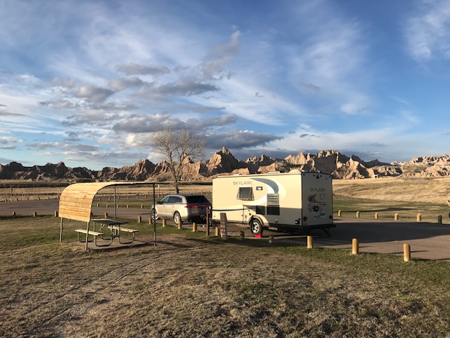
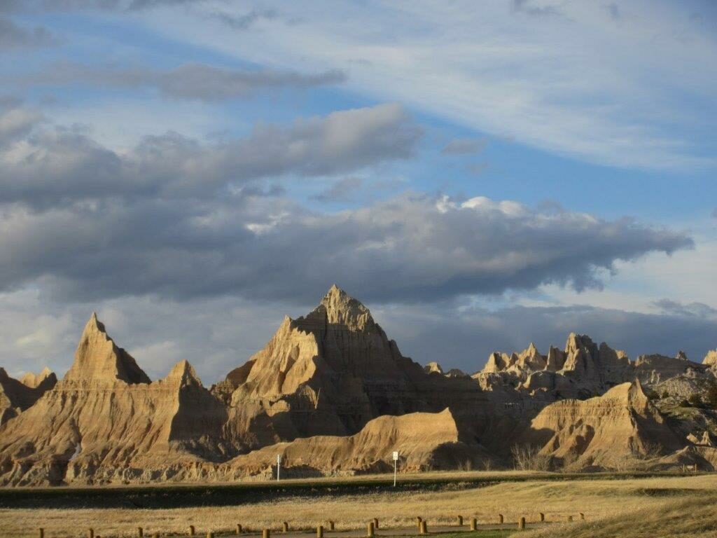
We continued on “lonely roads” north and bit west on Tuesday (4/16) as we made our way through the Samuel McKelvie National Forest (with almost no trees), entered South Dakota and crossed the Pine Ridge Indian Reservation to the Badlands National Park (#48) (https://www.nps.gov/badl). We managed a brief visit to the Visitor Center and then set up our trailer at the campground near the entrance, with only one other party in the 100-site campground. We enjoyed a dramatic thunder and lightening storm late that night. But it was done by morning.
On Wednesday (4/17) we set out on a tour of the park, which features badly eroded sediments with many fossils of mammals and sea creatures. It was very windy, but we did manage to do four short hikes to view the scenery, including many herds of sheep.
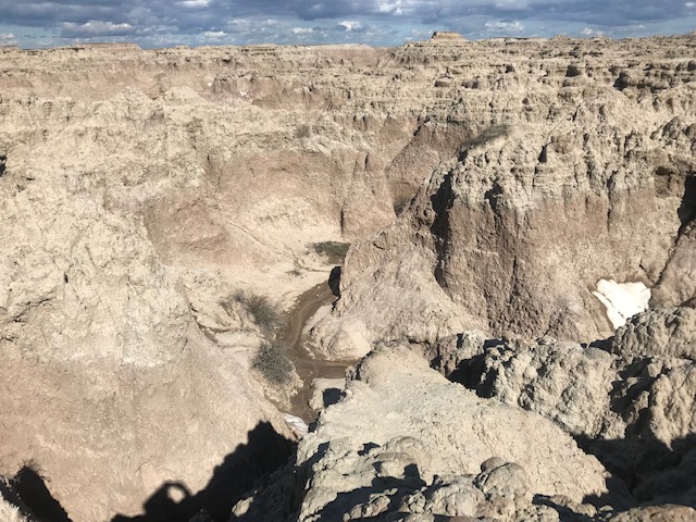
Badland Vista 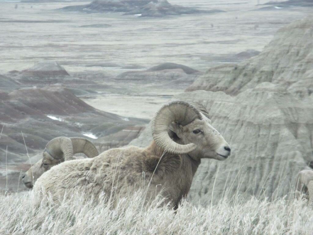
Big Horn Sheep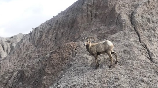
Another Big Horn Sheep
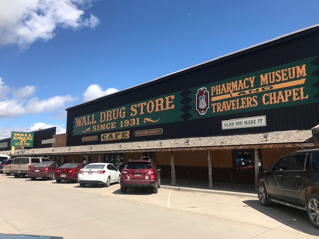
To complete the “loop road” we went out to Wall, South Dakota. Anyone who has driven on Interstate 90 in South Dakota knows about “Wall Drug” which has an about a thousand advertising billboards along the route and is now the economic powerhouse of this small town. So, we had lunch there just to take in the scene (Wall Drug now covers about the same area as a large Walmart, but lots of “kitsch” for merchandise and housed in wooden structures with wooden detailing). The café has many western artists on display.
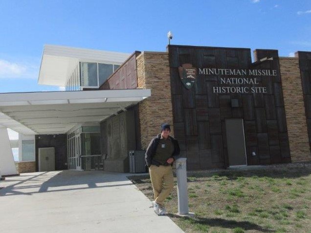
As we returned to the Badlands, we also stopped at the Minuteman Missile National Historical Site (#49) (https://www.nps.gov/mimi). We visited one of the missile launch sites and the Visitor Center which explains the history leading to the development of the solid-fueled ballistic missiles and their partial dismantling after Reagan and Gorbachav agreed to the Strategic Arms Reduction Treaty (START) in 1994.
Recent comments