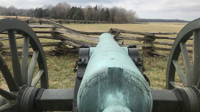
Our first stop after leaving Bentonville was the Pea Ridge National Battlefield (#16) (www.nps.gov/peri) about 30 miles to the Northeast, near Missouri. This was the site of a two-day battle between Confederate forces, who were attempting to drive north from Arkansas to capture St. Louis, and Union Forces which were there to stop them. One claim to fame for this battle was “the largest massed bayonet charge” since the Napoleonic wars by the 10,000 Confederates who badly outnumbered the Union forces. And the last, as it was a miserable failure in the face of well-directed artillery fire on the part of the Union Army.
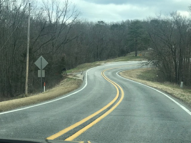
Off the Freeway… 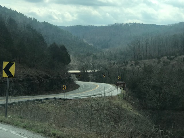
…in Arkansas Ozarks
The rest of our day was “up and down, round and round” as we followed a “scenic highway” in the Northern Arkansas Ozarks and made our way to the Buffalo River (#17) (www.nps.gov/buff). This was the first “National Wild and Scenic” river, so designated in in 1976. We camped at a National Park service campground at Tyler Bend, accompanied by only two other parties, and the pleasant and serene sounds of the river, doves cooing and the occasional distant sounds of thunder—along with a very dramatic sunset.
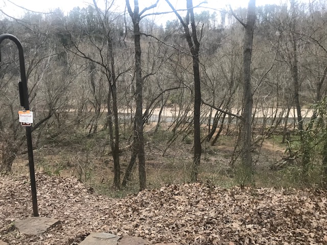
Tyler Bend, Buffalo River 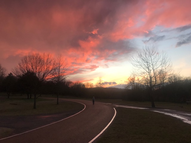
…And a peaceful Sunset
We continued in a southerly direction on Monday (3/25) and stopped at the Arkansas Capitol, Little Rock for lunch. There, Cynthia and I split up briefly as she went to the Historic Arkansas Museum (#18) (www.historicarkansas.org) to peruse several galleries of local artists, including an impressive section on historic native arts and crafts. Meanwhile, Larry walked down the Arkansas River to briefly visit the Clinton Presidential Center (#19) (https://www.clintonfoundation.org/clinton-presidential-center), poised above the River, which features a replica of the Oval Office and displays covering the main features of the eight years of Bill Clinton’s presidency. Larry avoided the walk back by taking a nicely refurbished historic trolley to the town center.
We continued another 75 minutes south in the afternoon and camped at a Corps of Engineers Campground on the banks (literally on the levee) of the Arkansas River a few miles up from where it joins the Mississippi. Once again, we were mostly alone in a peaceful, rural spot—and another dramatic sunset.
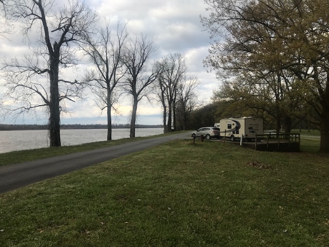
Camping (almost alone) on Arkansas River Levee 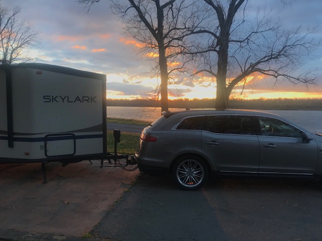
another great sunset!
The next day (3/26) we started out at the nearby Arkansas Post National Memorial (#20) (www.nps.gov/arpo), just north of the Arkansas River. This was the first European settlement in Arkansas and saw a succession of owners, French, Spanish and American. It was the first capital of Arkansas. It was a battle point during the revolutionary war and also the Civil war. We walked the interpretive trail that pointed out past houses, shops and fortifications that are long gone.
Proceeding south not far from the Mississippi we stopped in Arkansas City, a former riverfront port town now cut off from the Mississippi by high levees and then in Lake Village, where we attempted unsuccessfully to see a restored plantation. But had some great local cooking and encounters at Rhoda’s Hot Tamale shack (at the recommendation of city folk). After entering Louisiana we were successful in seeing the Louisiana State Cotton Museum (#21), and were given a guided tour of the cycle of planting, harvesting and processing cotton. We finished that day by picking out a camping site at the Poverty Point Reservoir State Park, where we arranged to spend three nights.
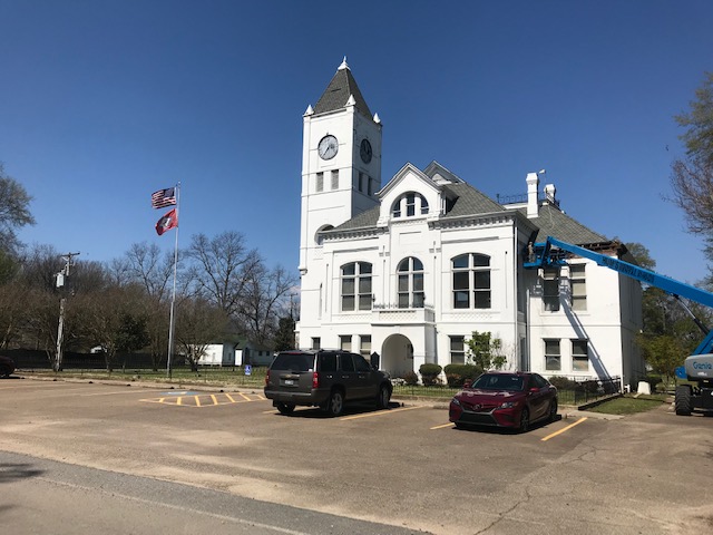
County Courthouse, Arkansas City 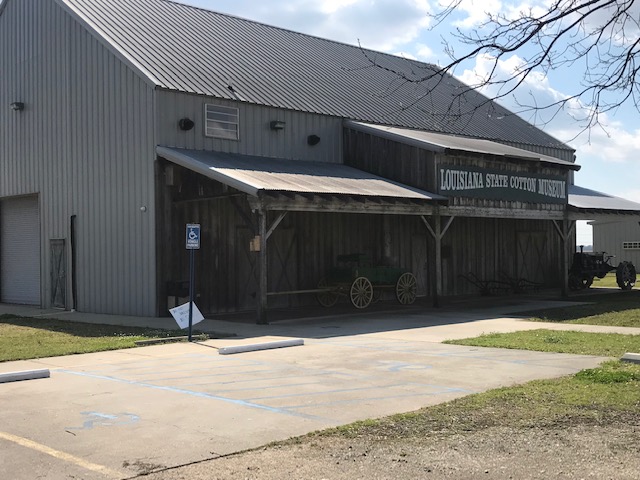
Louisiana Cotton Museum
Look interesting 🙂